In our last installment we visited two museums devoted to the Cold War occupation of Berlin and one of its most famous symbols, Checkpoint Charlie. Now we'll get up close and personal with the most hated symbol of the Cold War, the Berlin Wall.
After the Allied Powers defeated Germany in WWII, Berlin was carved up into four Occupation Zones or Sectors, each administered by an Allied country's military. Almost immediately, as the Cold War began to heat up and Europe became divided into eastern and western blocs, the Soviet Sector of Berlin became known as "East Berlin" and the US, UK, and French Sectors collectively were called "West Berlin." To stem the tide of escapees, the East German authorities hastily built a wall surrounding West Berlin in 1961, which they gradually fortified over the following years. This wall made West Berlin into a virtual island.
Since 1990, the Wall has mostly been dismantled, with fragments of it becoming display pieces all over the world. Disparate parts of it are still standing in Berlin, though.
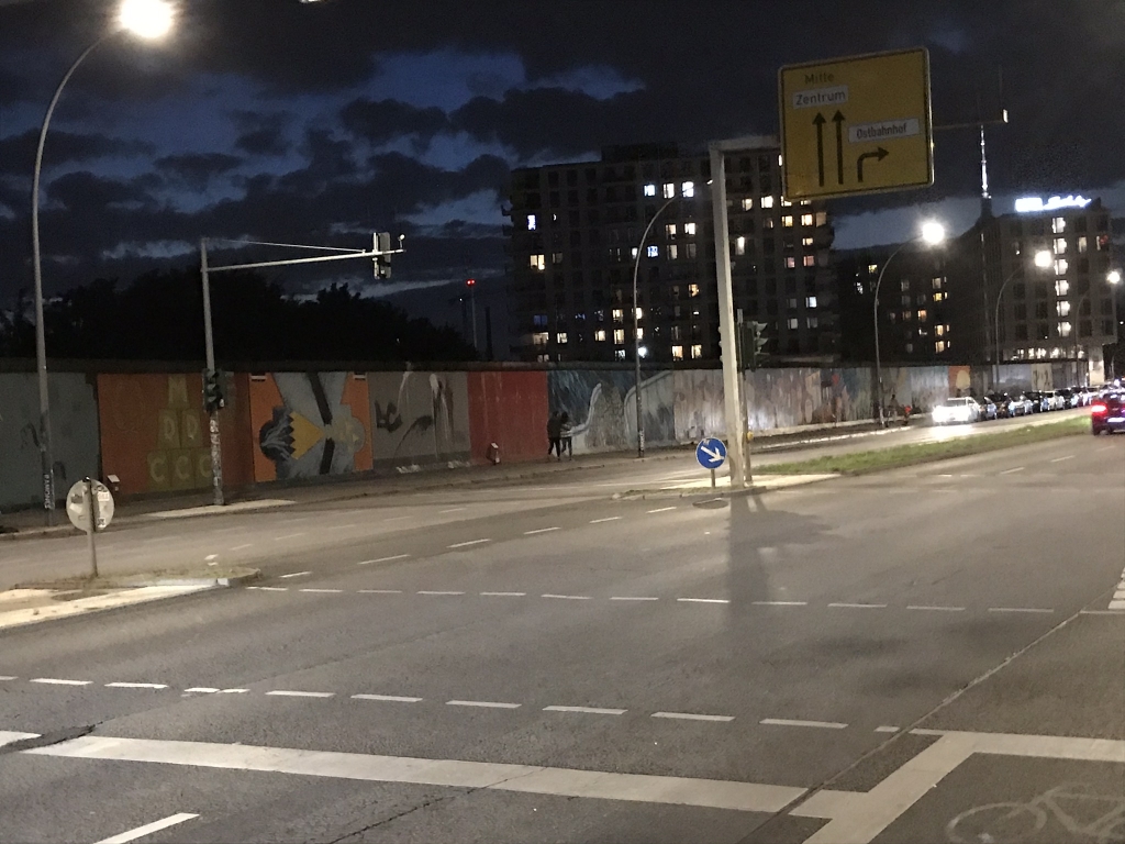
Near the Friedrichshain neighborhood you'll find this, the East Side Gallery. It should be noted, though, that all of that great street art is relatively recent, dating from after the fall of the Wall; this is all on the east side, so back in the day getting close enough to paint any of that meant entering the "death strip."
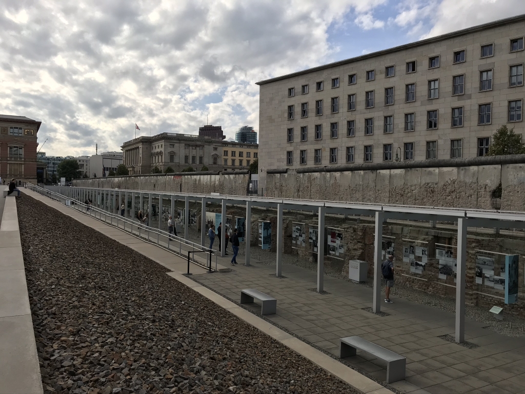
This stretch of the Wall, a little south of downtown not too far from Checkpoint Charlie, is now an open-air museum called Topographie des Terrors (Topography of Terror) which is a series of photo exhibits dedicated to the horrors of the Nazi and Communist eras in Berlin.
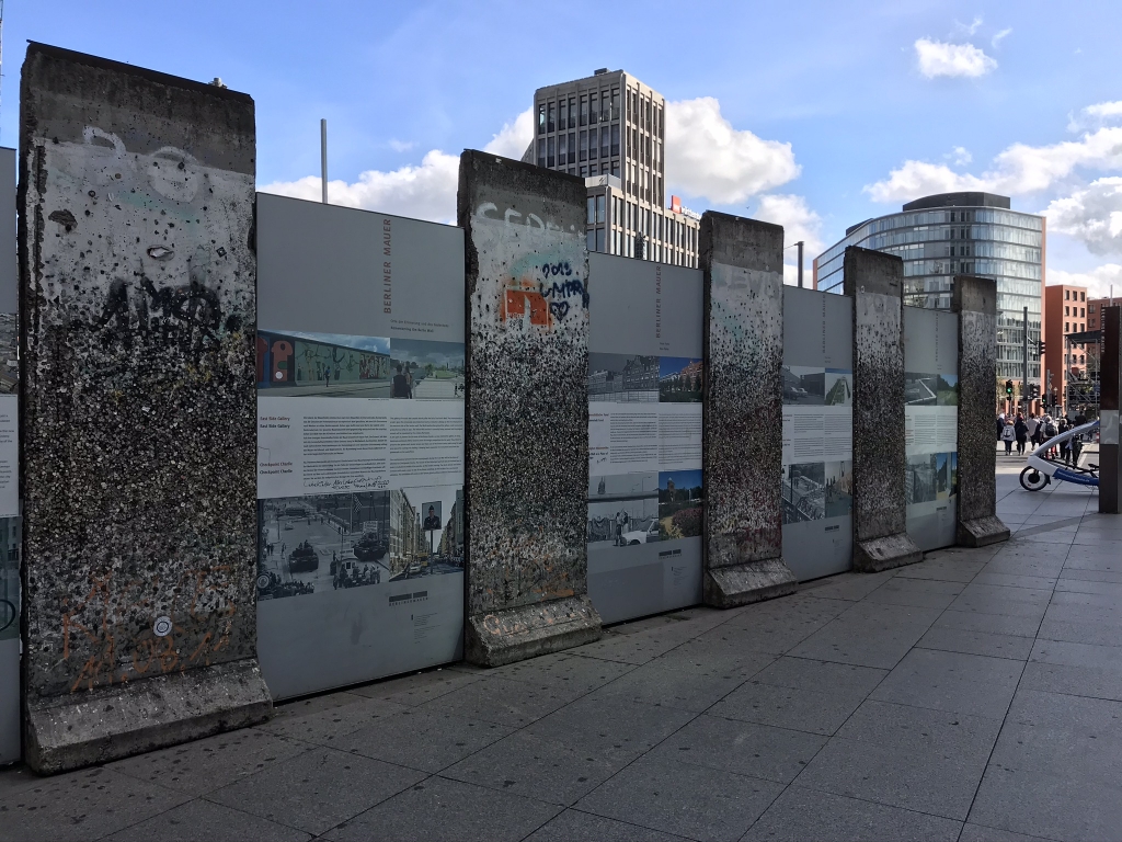
These can all be found in the tourist-heavy Potsdamer Platz.
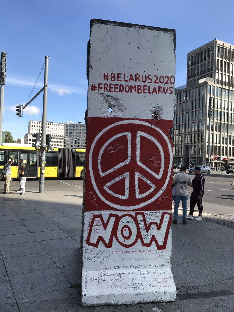
Another one from Potsdamer Platz. The artwork is still continually getting updated. Remember the Belarus protests of 2020?
And now for a long walk I took on September 6, 2020. This journey started in the Nordbahnhof S-Bahn station. While the Wall was up, several S-Bahn and U-Bahn lines began and ended in West Berlin but in the middle of their routes passed through East Berlin. Because of this, all the stations on these routes were boarded up and trains would just go right through them without stopping. They became known as "ghost stations" (Geisterbahnhöfe). Nordbahnhof was one of them. Today there's a sizeable photo exhibition in the station, all about the history of the ghost stations.
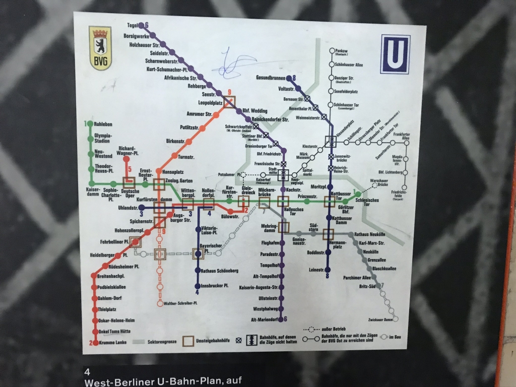
This is a map of the West Berlin U-Bahn from 1984, which also includes East Berlin's system, marked with a thin black line. Notice that U6 and U8 go through the East and their stations on that side, except Friedrichstraße (a special case which acted as a border crossing point), are marked with X's. The legend at the bottom says those stations are "stations, at which the trains don't stop." (Bahnhöfe, auf denen die Züge nicht halten) Those would be the ghost stations.
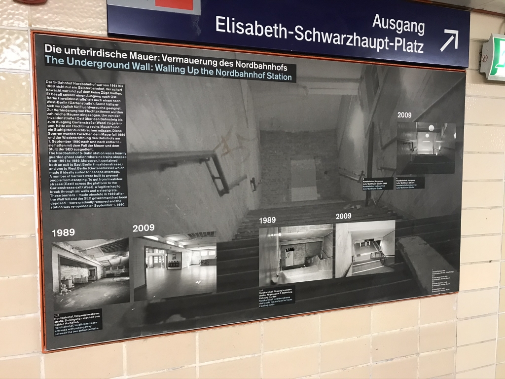
Before-and-after pics of Nordbahnhof, this very station. This station has one exit in the East and another in the West, so if it hadn't been walled up it would've been possible to walk right under the Wall here.
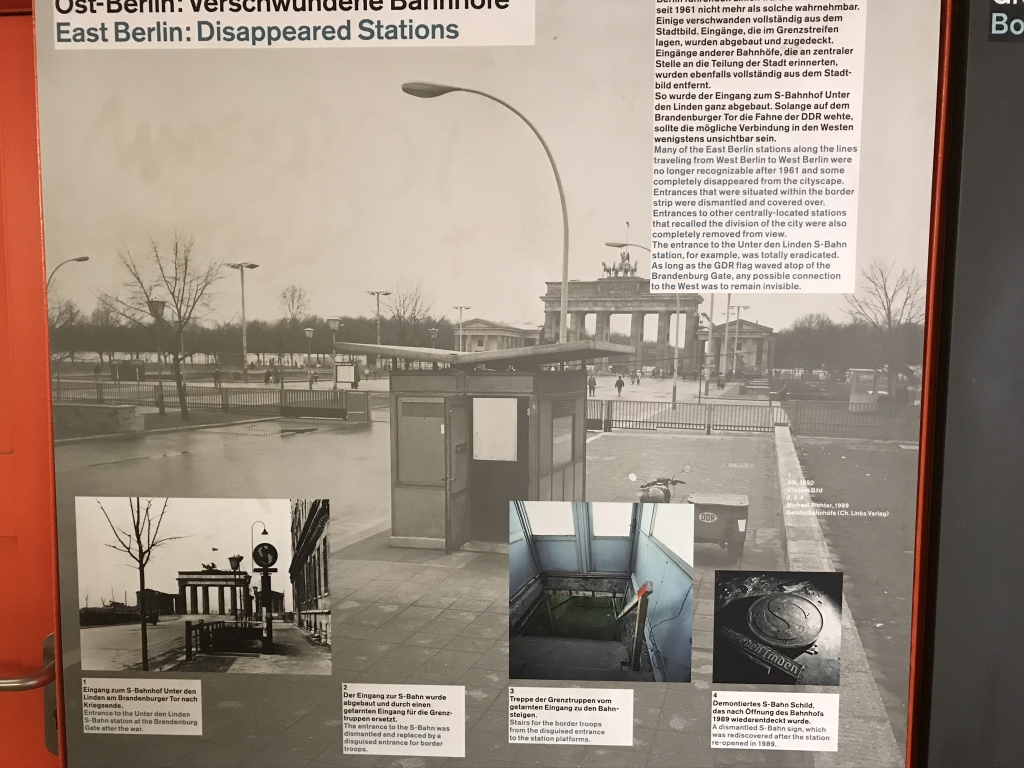
When the Wall was up, the entrances to the ghost stations on the surface were disguised so few could tell they were train station entrances. This is what the entrance to the Unter den Linden S-Bahn station looked like, a short walk east of the Brandenburg Gate.
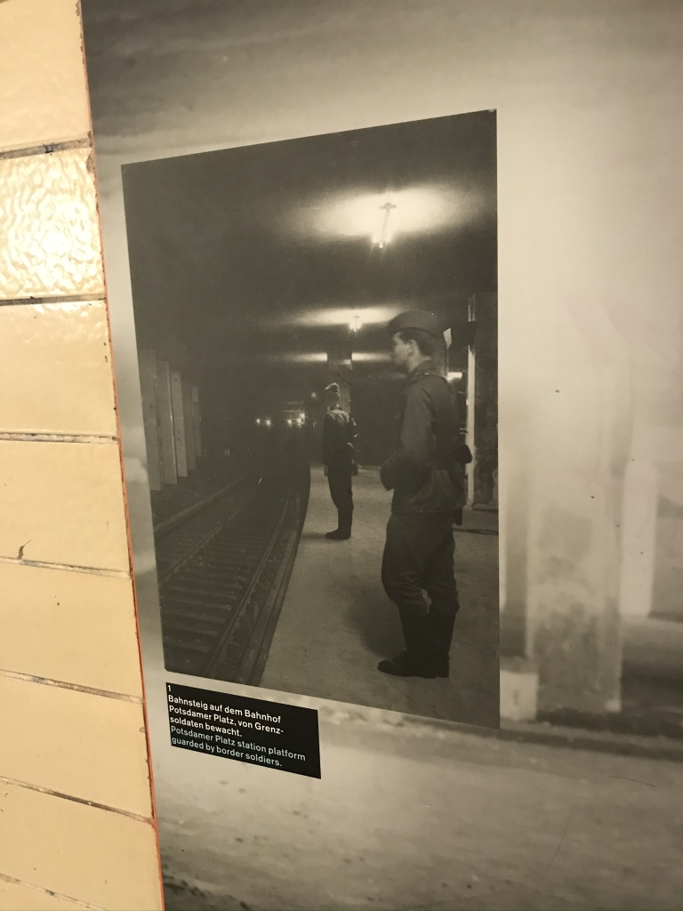
Border guards standing watch at the Potsdamer Platz station. Today it's a well-trafficked U-/S-Bahn hub, which I passed through frequently while I was there, but there was a time when the only people who set foot on the platforms were guards like these.
Outside the station we'll make our way to the Wall Remembrance Walk.
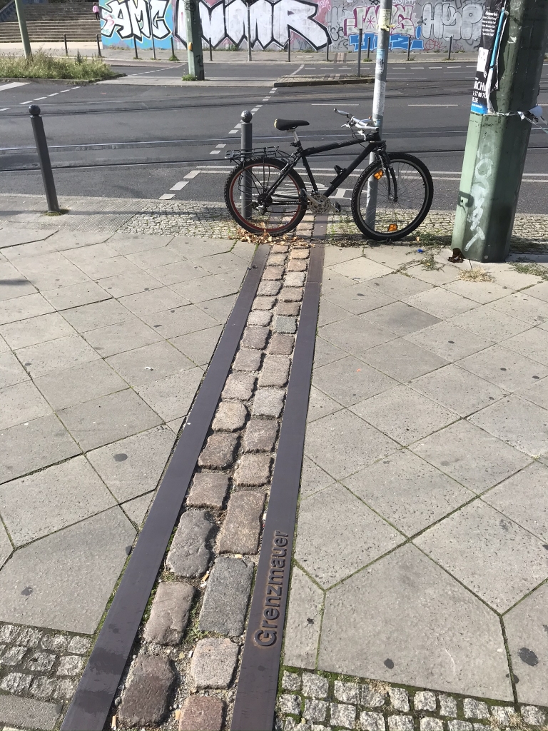
Throughout Berlin, you see brick lines like this tracing where the Berlin Wall used to stand. As you can see, this is labeled "Grenzmauer" which means "border wall." This was the wall that ran along the actual border between the two Berlins. There was another wall, known as the "Hintermauer" ("behind wall") which paralleled the border wall a few meters behind it in Eastern territory. The space between the two walls was the infamous "death strip" in which anyone spotted was shot on sight.
Now on to the Wall Remembrance Park. This is definitely an essential place to visit if you ever go to Berlin and are interested in the history. It's basically an open-air outdoor museum where you can walk through a kilometer stretch of what used to be the death strip and see historic photos and artifacts from the time of the Wall. It runs along Bernauer Straße between its intersections with Gartenstraße on the southwest end and Ruppiner Straße on the northeast end, which is near the Mauerpark (Wall Park).
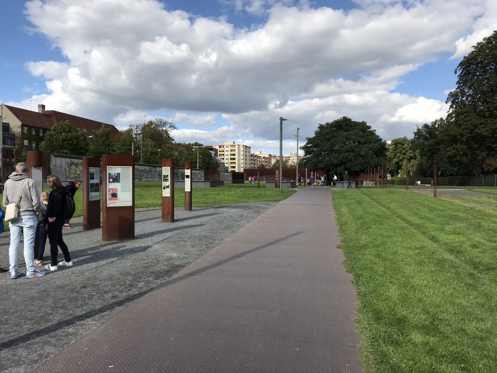
This is the first part of the park I entered. This is, again, what used to be the death strip. The remains of the border wall can be seen on the left. Interesting to think that 40 years earlier, being caught standing in this spot meant certain death.
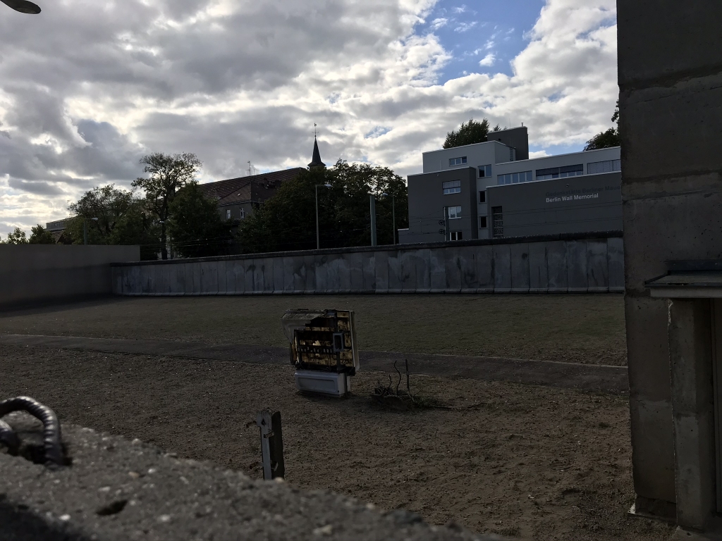
Here they've perfectly preserved a section of the death strip between the two walls. On the far side you see the border wall. To get this photo I had to hold my phone over the top of the Hintermauer. The ground in the death strip is sand, as you can see, which the border guards regularly smoothed out so that would-be escapees would leave behind really obvious footprints.
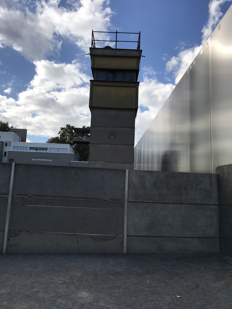
An old guard tower. There used to be many more along the Wall, always manned by border guards watching for anyone trying to cross. During the first years of the Wall, if anyone escaping tripped an alarm, it would set off loud sirens and flashing lights all around. By 1980 this had been replaced with something far more devious: silent alarms which only caused a little light to blink on a panel in the nearest tower, alerting the guards to the location of an escapee who was tragically unaware that they were about to be shot.
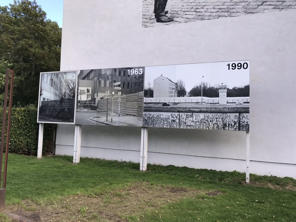
Before-and-after photos of the location where I was standing, near the intersection of Bernauer Straße and Ackerstraße. The Wall's construction caused many east-west streets to be suddenly cut off and dead-end.
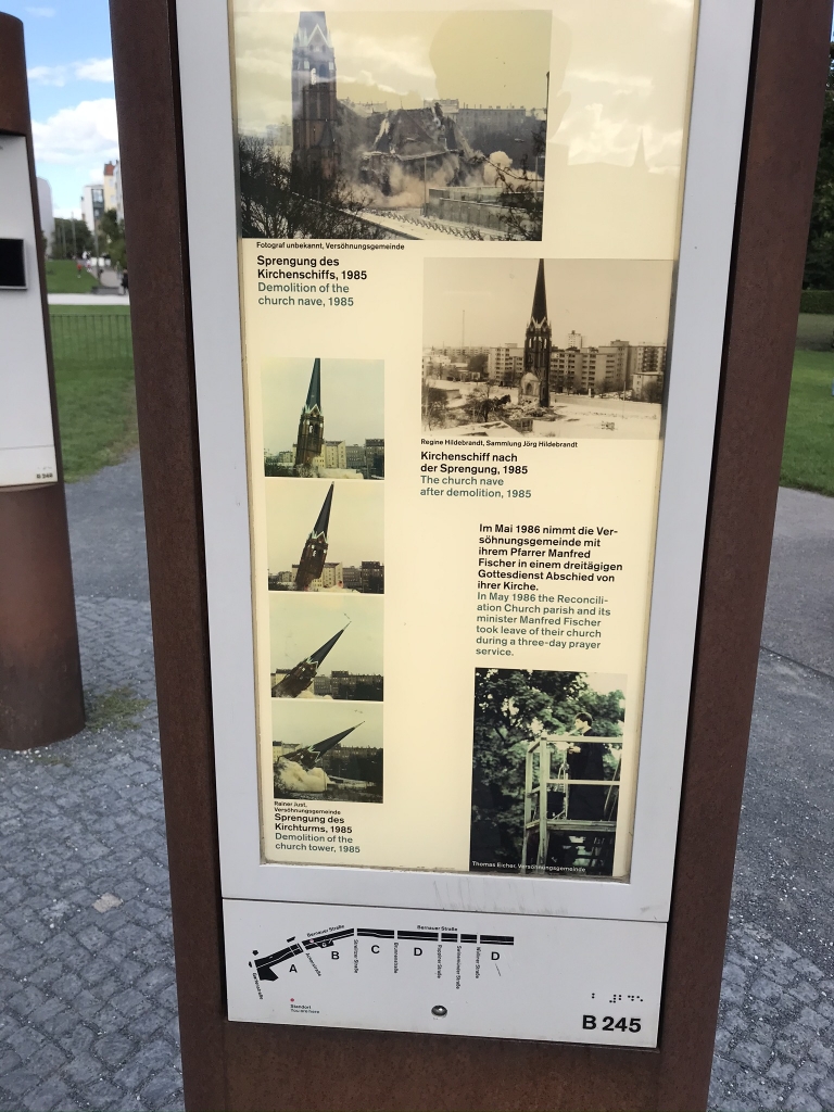
Commemoration of a historic church which used to stand on this spot: the Church of the Reconciliation. It was on the East side of the wall but most of its members lived on the West side. The East's border guards used it as an observation tower until they demolished it in 1985. There is now a memorial chapel here.
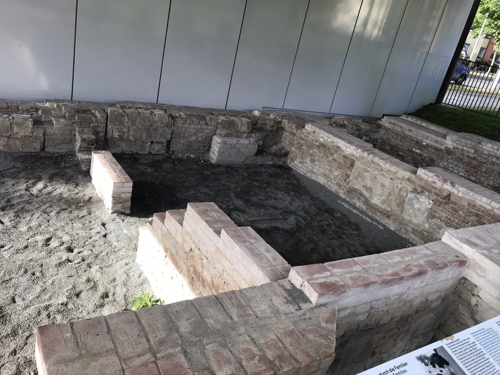
Remains of an apartment block that had the misfortune of being located right on the border.
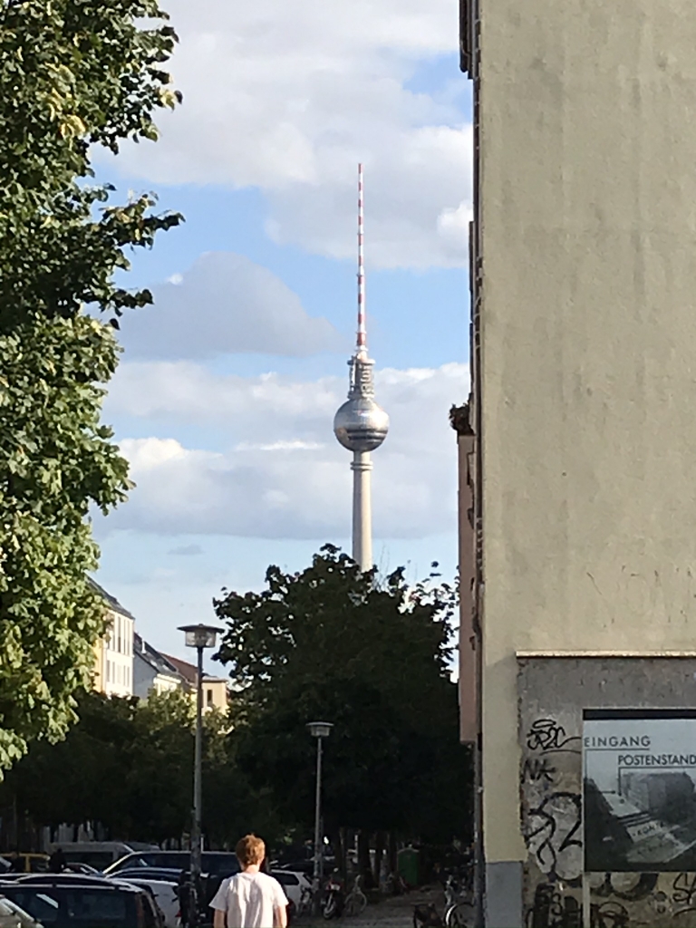
Now let's stop for a moment to take a look at the TV tower, Berliner Fernsehturm, which we can see from this point. The TV tower was built in East Berlin during the tense 1960s. You see how the reflected sunlight is in the shape of a cross? It's somewhat washed out in the photo, but looked a lot clearer in person. This phenomenon was called "the Pope's revenge" (die Rache des Papstes) because it appeared to be a darkly humorous divine retribution for East Berlin removing crosses from historic churches.
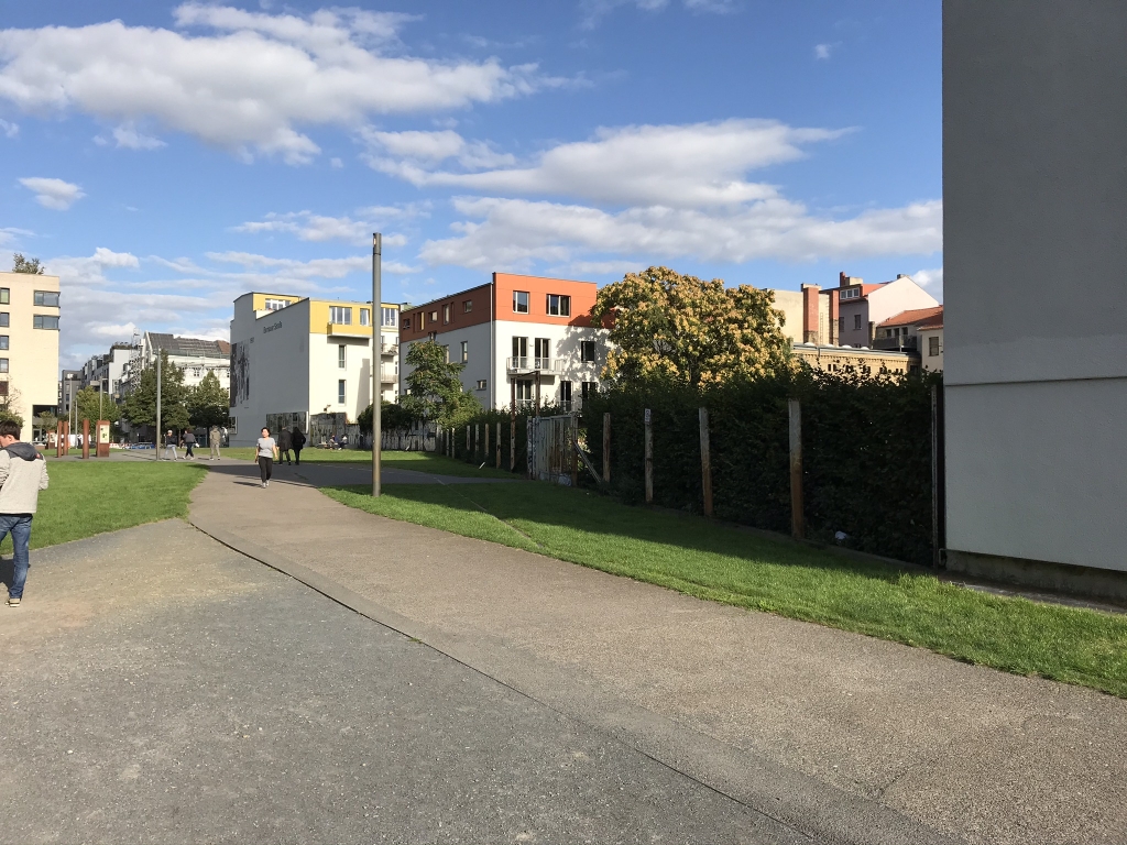
I like this photo because it shows how far beyond the divided-Berlin era we've moved. People are walking along a path in what used to be the death strip, while what used to be the Hintermauer has been replaced with a totally innocuous fence between two modern apartment buildings.
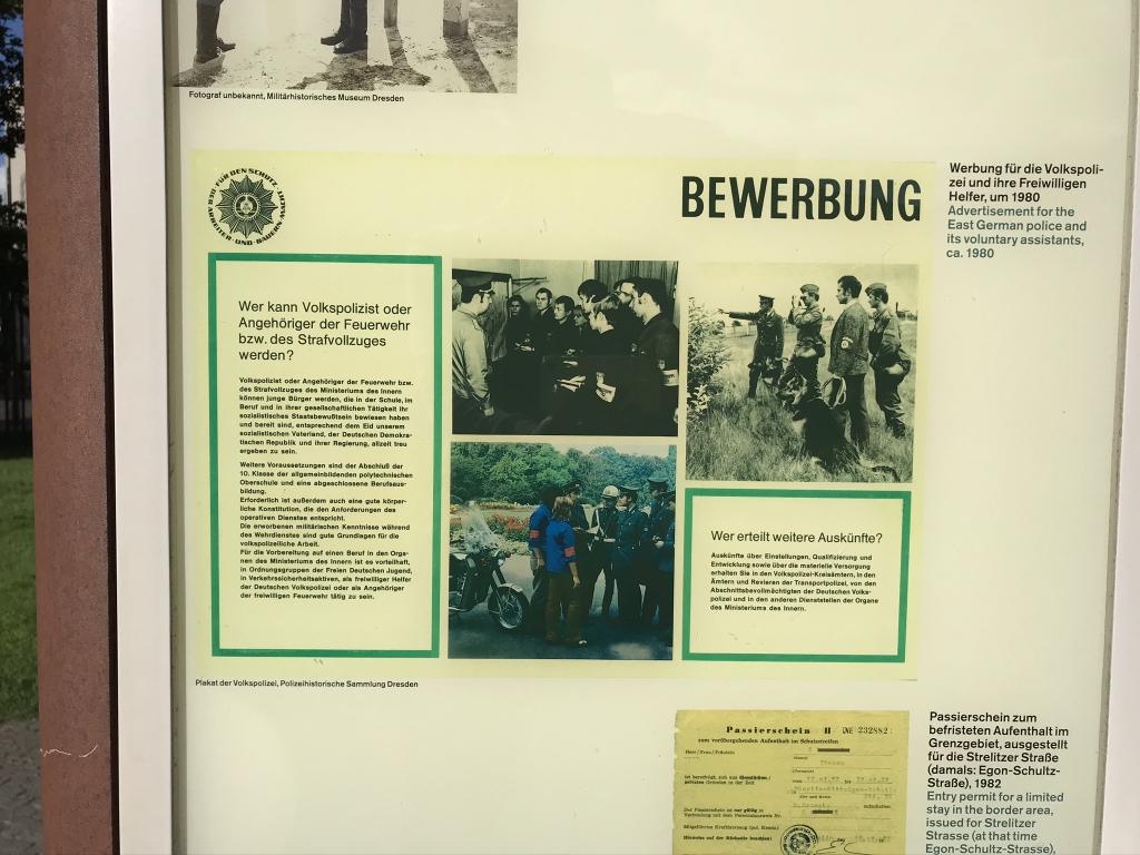
Vintage recruitment ad for East German police.
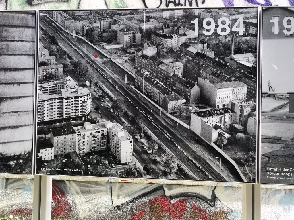
Aerial view of this section of the Wall when it was in its most lethal and oppressive version. That red dot is where I was standing when I took this picture.
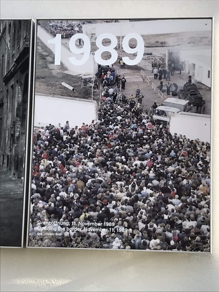
People pouring over the border after the Wall was opened.
That was the end of the Wall Remembrance Walk. Now let's have a look at one last place where history was made.
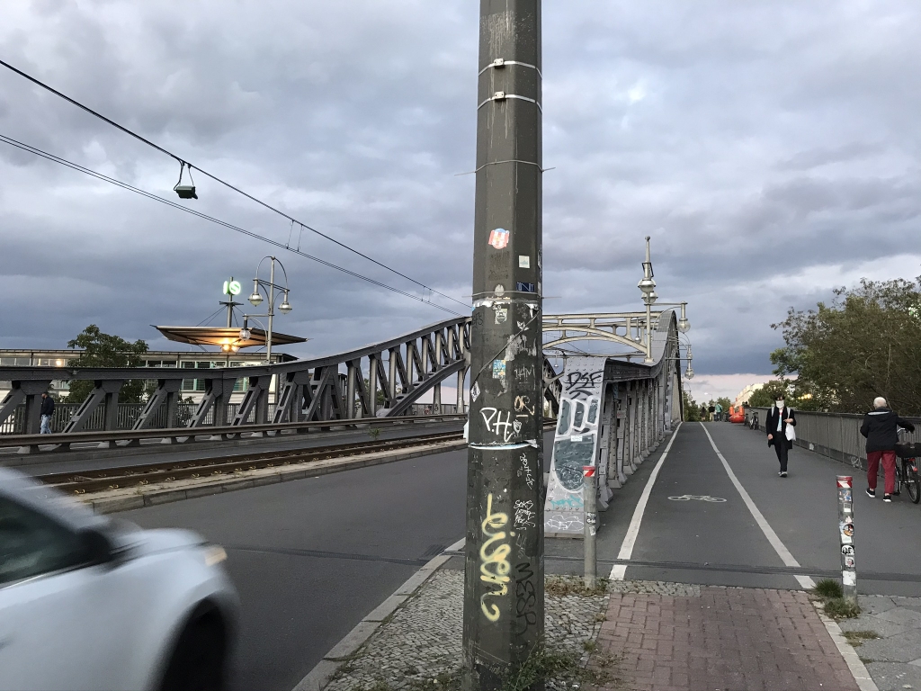
And finally, our last piece of Cold War history. Looks like a totally ordinary bridge, doesn’t it, with people walking, biking, and driving over it? Bösebrücke used to be one of the guarded border crossings between East and West Berlin, and it was the first to open up and let East Berliners through on the night of November 9, 1989. This bridge alone saw over 20,000 people cross that night. Needless to say, that was the beginning of the end of the Berlin Wall, divided Germany, and the Cold War.
There's an interesting story behind it. The world changing events of that night were caused by a press conference muck-up. East Germany at that time was trying to open itself up and it had previously been announced that more border crossings would be allowed. When press spokesman Günter Schabowski was asked by a journalist at a November 9 press conference when that would take effect, he didn't know the answer, so he just improvised "As far as I know, without delay." Suddenly crowds were exponentially growing at the Berlin border crossing checkpoints demanding to be let through; Bösebrücke was the first one to give in.
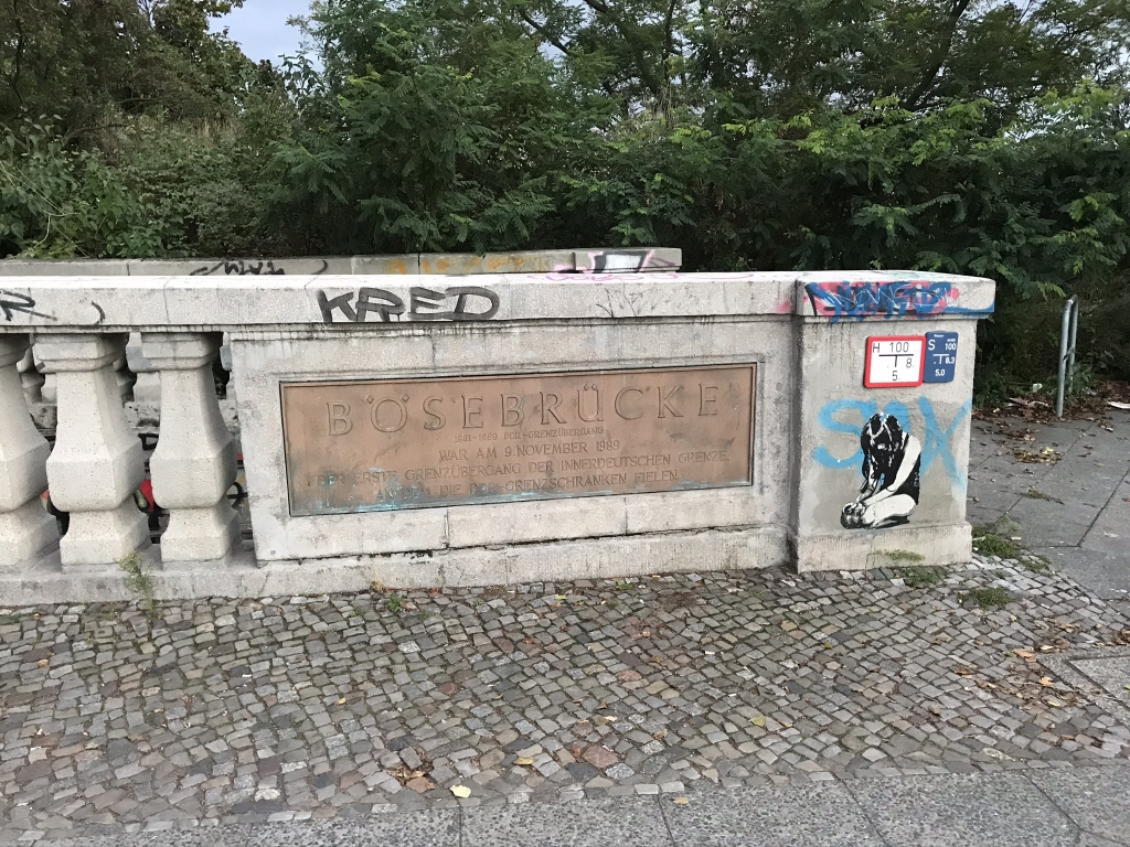
As this plaque tells us, Bösebrücke was on November 9, 1989 the first border crossing on the Inner German Border on which the East German border checkpoints fell.

